
Stow Neighbors and Block Records
Records around a block can show parcel boundaries, a recorded party, a tax-mailing field, or a dated address reference. They do not supply a verified roster of Stow neighbors. Start with one address, then use the parcel number to move between property, tax, map, and recorder systems. A map helps locate the land. The parcel record helps identify the county reference. An instrument then requires its own reading and date check.
| Stow block source | What it shows about the block | Access and limit |
|---|---|---|
| Summit GIS Viewer | Parcel-boundary and jurisdiction context, roads, imagery, and mapped layers | Online map; informational only, not a survey or proof of presence |
| Summit Property Access | Parcel search routes and county property-report links | Search by parcel, owner, address, or ZIP; mailing and situs may differ |
| Recording Division | Named parties and legal descriptions in recorded instruments | Online browsing described from 1988 forward; older research uses index-book or archive routes |
| Ohio Voter Lookup | One returned registration record after a name and county search | Individual lookup only, not a street enumeration or residence proof |
| Library historical collections | Dated local-history, directory, newspaper, and yearbook leads | Research context, not a current household list |
For Stow neighbors, record ownership and occupancy are separate questions. A named owner may be a trust, estate, entity, or person who receives correspondence elsewhere. A parcel’s tax-mailing address can differ from its physical location. Neither field alone tells who is present on a given day.
Stow Parcel Maps Need Context
Use Summit Property Access before treating the map as a research answer. Its standard search fields are Parcel, Route, Owner, Address No., Street, and Zip. A parcel number is the strongest bridge to the tax-document, GIS, and recorder systems. The property site was in maintenance or disclaimer access during this research, so the published workflow should stay with the confirmed fields and report types rather than claiming untested live result labels.
The Summit Property Access screen is the official property-search starting point. The search instructions describe a Summary Page and report options such as a tax bill, property record card, attribute report, and neighborhood sales.
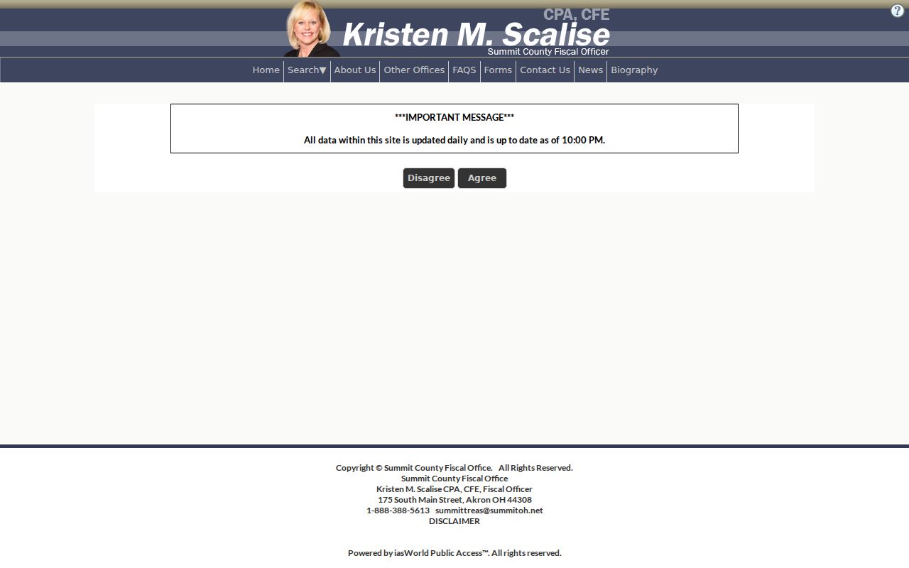
Use the narrowest reliable input and refine a large result set before comparing parcels. The system updates daily at 10 p.m., so an accessed record is operationally current but not a historical snapshot.
The Summit tax-document lookup has different input rules. Its property-address route accepts house number only, while a Parcel ID keeps dashes and an account number has seven digits with leading zeroes.
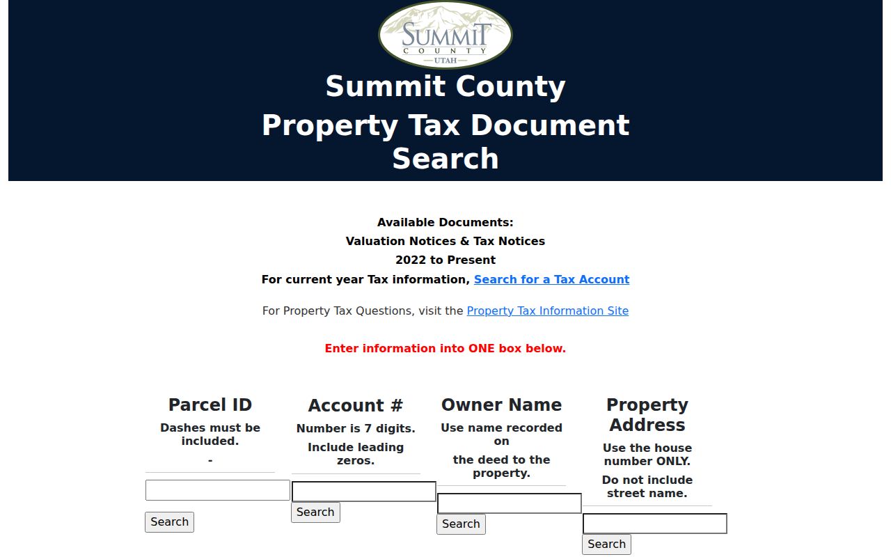
That input difference prevents a common failed search. The tax-document portal is not a replacement for the full parcel card, and its valuations and tax notices are described as 2022 to present.
Stow Neighbors Map Context
Once a candidate parcel is identified, the Summit GIS Viewer adds spatial context. County material describes layers such as parcel boundaries, jurisdiction, waterways, wetlands, flood-related areas, soils, aerial imagery, lakes, and ponds. Those layers help frame a question for the appropriate office. They do not establish the boundary by survey, decide a regulatory issue, or prove that a person is at the point shown.
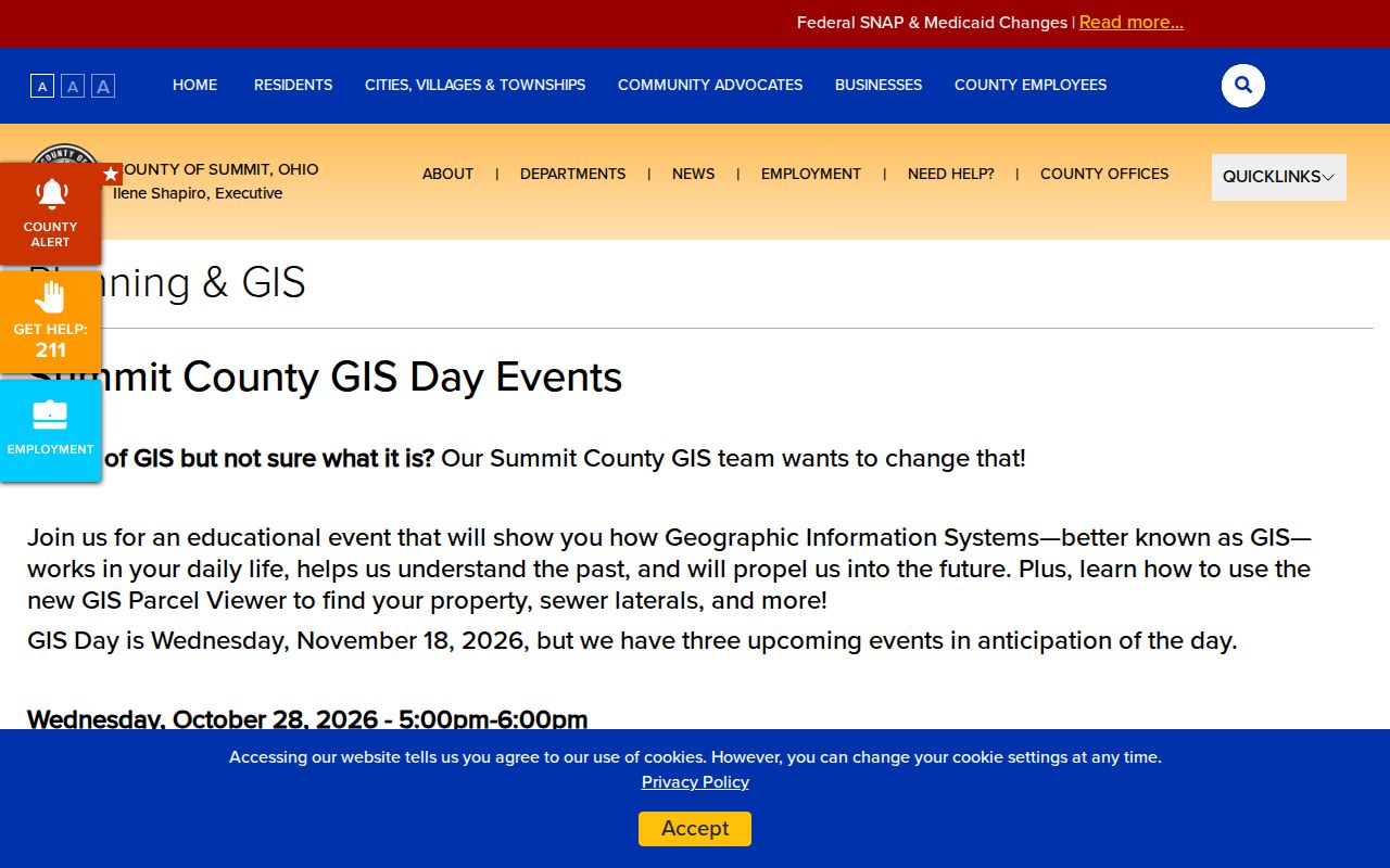
The Summit County GIS Day information notes a newer parcel-viewer route and public demonstrations. The changing interface is a reason to confirm controls before relying on a map workflow.
For a municipal numbering conflict, the documented local route is Stow Engineering at 330-689-2726. Provide the parcel ID, the two competing address formats, the document source and date, and a concise question. A GIS marker cannot settle an address-numbering issue alone.
Map a Stow Block Carefully
Use the block as a map-and-parcel exercise, not a search for a public street list. The process starts with the address exactly as it appears in the source. Keep that original form separate from the number-and-street input used by Property Access. If a candidate parcel appears, save its ID, displayed situs, access date, and report links. That record trail makes it possible for another researcher to test the same path.
- Enter the address number and street in Summit Property Access, or begin with a known parcel number. Keep route, directional, unit, and historical wording in the source log rather than changing the original record.
- Confirm the candidate parcel’s civic context. A Stow postal label does not by itself prove City of Stow jurisdiction, so compare the parcel and GIS context with the municipal question.
- Open the GIS Viewer only after noting the parcel ID. Use it to view the parcel boundary and nearby land context, not to infer nearby household membership.
- If an instrument is relevant, locate it through the Recording Division and compare legal description, recording date, document type, grantor, and grantee before linking any prior transfer.
This is a process flow: address as written, parcel ID, GIS context, recorded instrument, then a narrow municipal or library question if one remains. For a whole named street and its full address-record chain, use the Stow Street Directory rather than stretching a block search into a citywide one.
Note: Stop when the parcel, legal description, municipality, or source dates conflict instead of selecting the familiar-looking address.
Stow Neighbors in Recorded Instruments
The Summit Recording Division keeps deeds, mortgages, releases, plats, and related filings. Its record-search page describes online browsing and viewing from 1988 forward. The live system has a CAPTCHA and acceptance gate, so this research did not confirm its post-gate search fields or results. Treat its index like a card catalog: an entry is a lead to an image or official copy, not the document’s full meaning.
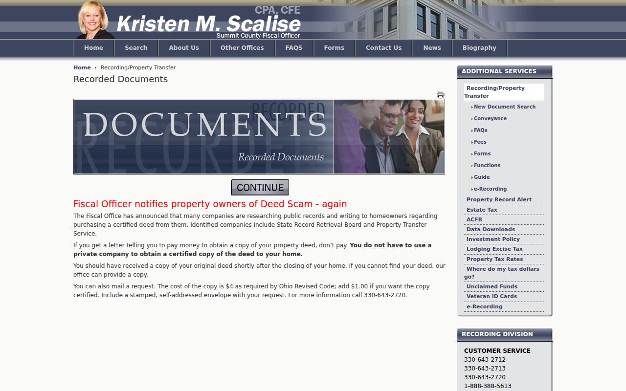
The Summit Recording Division is the direct official route for recorded instruments. The fee page lists $2 per copy page and $1 per document certification, but live office pricing should be checked before ordering.
Read the legal description before connecting a deed to a parcel. Street numbers can be absent or change. A grantor or grantee is a party role on one instrument, not a statement of current occupancy.
The Recording Division search page describes the official recorded-document route and its coverage note. Use alternate spellings, entity forms, document number, book and page, and legal-description language where the system permits.
For older material, use the index-book or archive route. Before 1840, the library guide may point to the appropriate parent county, depending on the record date and legal-description trail.
Stow Neighbors Are Not Voter Lists
Ohio Voter Lookup starts with a first name, last name, and county. For Stow, select Summit County. A later street-name refinement distinguishes matching people only after the individual search. The state’s tool is not a public way to enumerate a block, identify everyone at an address, establish a household, or prove that a person currently lives there.
R.C. 3503.15 describes registration data, but other laws protect particular identifiers, contact details, confidential registrations, and protected addresses. A public result can be limited or redacted. If a defined existing election record is necessary, direct a request to the Summit Board of Elections and ask for the legally releasable version. Do not ask staff to create a block analysis or use a voter result to make a residence claim.
Stow Community Directory Gap
No authoritative citywide directory of Stow neighborhood associations, subdivision groups, or historical neighborhood boundaries was verified in the research. There is also no confirmed public street-enumeration path. That absence matters: a list of organizations, contacts, or member households would be speculation unless a specific group publishes it through its own official channel.
| Confirmed local resource | Useful block-research role | What it does not provide |
|---|---|---|
| Stow-Munroe Falls Public Library Local History | Stow Press, church-news, yearbook, obituary, walking-tour, photo, and local-history leads | A current neighborhood roster or association directory |
| Akron-Summit County Public Library Special Collections | Historic city directories, obituary indexes, maps, and regional genealogy resources | A present block-by-block household list |
| Summit County Historical Society collection | Object and local-history provenance through Special Collections and Summit Memory | Proof of a current resident or neighborhood membership |
A dated Stow Press issue, Stoanno yearbook, church-news item, or historic directory entry can support a period-specific local-history question. It cannot be carried forward as a statement about your Stow neighbors today.
Stow Neighbors Through Time
Stow Corners, at Darrow Road and Kent Road, is the documented historic crossroads for a local context question. The library identifies Stow’s first settlement in 1804 and describes its 1808 township formation in Portage County. The city archival record later places village status in January 1957, charter adoption in 1958, and city status in January 1960. These dates explain why a historical source may use different county or municipal terms.
Use a dated directory, newspaper, map, walking-tour item, or probate record for the date it covers. Historic maps and city directories can help frame an old address, but a recorded legal description is needed to test a parcel relationship. There is no verified Stow street-renaming or renumbering table, so do not invent a former street name when an old and current address seem similar.
Stow Neighbor Lookup Privacy Limits
Official records and commercial neighbor-search categories are not interchangeable. A government portal identifies the record type, custodian, date, and visible limits. A commercial category may combine records of unknown timing and source, which makes it less useful for resolving a parcel or historical question. Neither type supports a conclusion that a person is currently present at an address.
| Official record route | Commercial neighbor-search category | Safer conclusion |
|---|---|---|
| Parcel, map, recorder, court, or election custodian with a stated record purpose | Combined and potentially stale information without a clear document chain | Report only what the official record says, with its date and boundary |
| Defined request to the original custodian | Broad name or address compilation | Ask for an existing, legally releasable record rather than a profile |
Ohio Safe at Home, public-service-worker redaction, court sealing, and other statutory restrictions can remove or limit details. If an official source appears inaccurate or exposes information improperly, contact that custodian with the parcel, document, case, or book-and-page identifier. Do not try to reconstruct a protected address from older filings.
Lawful use. Use Stow neighbors research for a narrow, lawful personal question or local-history context. Never use a record to stalk, harass, intimidate, or contact someone at a protected address.