
Stow Previous Residents by Era
Different sources reveal different parts of an address history. A current parcel gives a starting identifier. A recorded deed supplies named parties and a legal description. The historical directory collection offers address-period clues, but its coverage is selective and a volume may not include a Stow entry. Federal census schedules are snapshots, not a continuous record of a property. Use each source for its date and record class, then test a proposed connection against a second independent source.
| Source | Era or coverage | Where held | What it can show |
|---|---|---|---|
| Summit Property Access | Current county property data, updated daily at 10 p.m. | Summit County online property portal | Parcel bridge, displayed situs, and county reports. |
| Recorded instruments | Online browsing and viewing from 1988 forward | Summit Fiscal Office Recording Division | Transfer parties, instrument type, date, and legal description. |
| Index Book Archive route | Pre-1988 recording research | Recording Division archive or counter route | Earlier index leads to test against books and instruments. |
| Historic directory collection | 1859–1969, with gaps and combined editions | Akron-Summit County Public Library Special Collections | Resident, street-directory, and business-entry clues. |
| Local Stow publications | Community Church News, 1934–1948; Stow Press, 1959–1960 | Stow-Munroe Falls Public Library | Dated community context and research leads. |
Start with the source closest to the date in question. A contemporary parcel and transfer can lead backward through recorded instruments. A time gap is better approached through the appropriate directory year, newspaper, map, or census schedule than by assuming a name or street form remains constant. Previous residents research becomes more reliable when every row in a chronology names its custodian, date, and document type.
Begin a Stow Previous Residents Trail
Summit Property Access is the practical first step for an address that has a present parcel. Its standard search separates Address No. from Street and also accepts Parcel, Route, Owner, and Zip. Save the parcel ID, displayed situs, access date, and report name before moving on. A tax mailing field may differ from the physical situs, so it should not be relabeled as a residence. The Property Access instructions say standard results can reach 500 records, which makes a precise number-and-street input or parcel identifier especially useful.
The portal’s stated daily update time makes it a current operational source, not a historical snapshot. Its Summary Page is described as offering reports such as the tax bill, property record card, attribute report, and neighborhood sales. No live parcel card was opened during the research review because the system showed a maintenance or disclaimer screen. If the portal is unavailable, use the Summit Fiscal Office contact route instead of retrying it as though the missing result establishes anything.
Check the live interface before using it, especially after a maintenance notice or portal update, and retain the access date with the parcel ID.
For a separate tax notice or valuation document, the county tax-document lookup accepts a parcel ID with dashes, a seven-digit account number with leading zeroes, an owner name as recorded on the deed, or a house number only. It does not accept a full street phrase in its Property Address route, and its described document coverage is 2022-present.
Stow Deed Records Split at 1988
The Summit County Fiscal Office Recording Division is the custodian for deeds, mortgages, releases, plats, and related recorded instruments. Its record-search information says online browsing and viewing begin in 1988. The Akron-Summit County Public Library research guide describes post-March 20, 1988 records as online and directs earlier work to the Index Book Archive Viewer. These are source-specific descriptions of the digitized route, not proof that a pre-1988 document does not exist.
The online system’s CAPTCHA and acceptance gate prevented a public field-list inspection during research. The recorder also describes its index as card-catalog-like. Treat an index entry as a discovery lead and inspect the document image or obtain a copy before making a connection. Search spelling variants, entity forms, document numbers, book and page references, and legal-description language. Images can include redactions, and a later filing can correct or release an earlier one.
Use the county source to confirm current counter procedures, copy options, and the online access point before requesting a document.
Copies are listed at $2 per page and certification at $1 per document. The Recording Division lists its counter at 175 S. Main Street, fourth floor, Akron, with telephone numbers 330-643-2712, 330-643-2713, and 330-643-2720. Give staff a document number or book and page when known, and say whether a plain or certified copy is needed.
Trace Stow Previous Residents in Deeds
A chain of title is a chronological sequence of property transfers, not simply a list of names returned by an index. Work backward from a current transfer only while the parcel reference and legal description remain coherent. A street number can be absent or can change, while a lot, subdivision, or metes-and-bounds description may carry the property identity across time. If the source details diverge, stop and mark the proposed link as uncertain.
- Use the current parcel record to identify the parcel ID and the recorded transfer connected to it.
- Open that instrument and transcribe its type, recording date, document number, grantor, grantee, and legal description exactly as shown.
- Search the prior seller in the party role that fits the earlier conveyance. On a transfer, the buyer normally appears as grantee and the seller as grantor.
- Compare the legal description, subdivision or lot reference, parcel context, and recording data before accepting another document as the same property.
- Repeat through earlier instruments. Move to the Index Book Archive Viewer or counter route for pre-1988 material, and preserve uncertainty when the trail breaks.
- Grantor and grantee
- A grantor transfers an interest in an instrument; a grantee receives the interest described by that instrument.
- Chain of title
- The documented sequence of transfers for a particular property, tested through the actual recorded documents.
- Legal description
- The lot, subdivision, metes-and-bounds, or other formal land description used to identify the property in a recorded instrument.
- Index versus image
- An index points to a filing. The image or official copy carries the wording needed to evaluate the filing.
Note: A shared street name or a matching surname does not repair a break in the legal-description trail.
Stow Legal Descriptions Outlast Addresses
An old address is a useful research lead, but the legal description is the test for a property connection. Roads may appear under a road name, state-route label, township wording, subdivision plat, or legal metes and bounds. The Stow Corners material places Darrow Road and State Route 91, and Kent Road and State Route 59, in documented historic context. It does not provide a conversion table that proves every label refers to the same parcel on every date.
Use a source stack in order: the initiating document, a current parcel ID, the recorded instrument and legal description, GIS context, a city numbering response if needed, then the dated map, directory, or newspaper. The Summit County GIS Viewer is useful for orienting a known parcel and checking jurisdiction context. It is informational, not a survey, and cannot settle a boundary, easement, or address-numbering question.
When two address forms conflict, Stow Engineering is the documented local contact for numbering questions at 330-689-2726. Supply both forms, the parcel ID, document date, and the exact question. The result should remain a dated city response, not a substitute for a title record.
Stow Previous Residents in Local Publications
Recorded ownership is only one part of an address history. The Stow-Munroe Falls Public Library local-history collection lists the Community Church of Stow newsletter run for 1934–1948, Stow Press for 1959–1960, local photographs and videos, obituary research, Summit Memory resources, Stow Corners material, and Stoanno yearbooks. These are strong dated leads for local context, but a newsletter, yearbook, or clipping is not a complete record of everyone connected to an address.
The local-history capture provides the first library route for a Stow previous residents chronology.
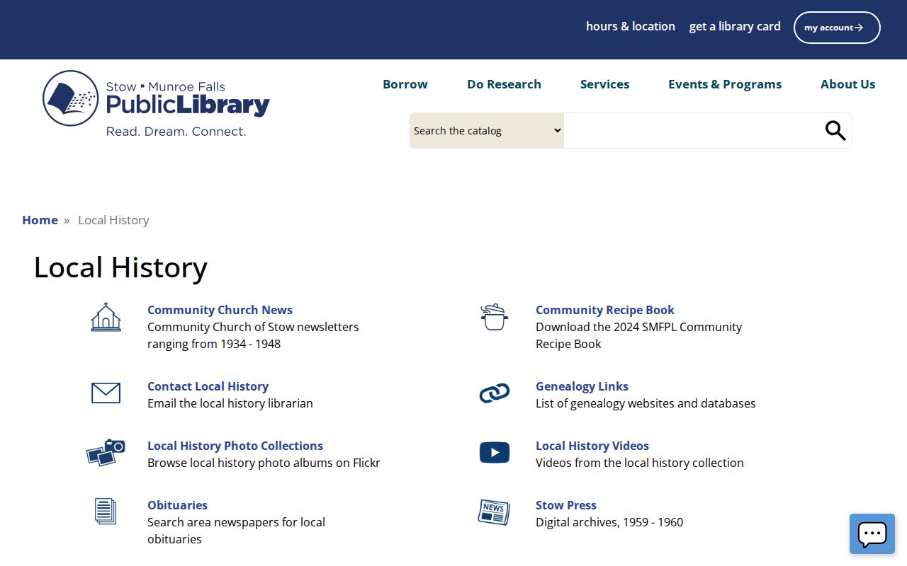
Use an item’s issue date, page, image, or catalog description when adding it to an address timeline.
Akron-Summit County Public Library Special Collections describes historic city directories for Akron and surrounding areas from 1859 through 1969, with gaps and combined editions. The library describes resident entries, street directories arranged by address, and business listings. It does not guarantee that every volume includes Stow or that every entry has the same fields. The collections themselves are covered on the Stow Directory Book; use them here to place one address in a specific publication year.
Note: A directory absence can reflect selective coverage, a changed street form, a municipal label, or an unreadable scan rather than a settled conclusion.
Stow Corners and Earlier Custodians
Stow Corners, at the Darrow and Kent crossroads, is a documented geography clue rather than a present-property claim. The library identifies 1804 as the first settlement year and describes 1808 political formation while Stow was in Portage County. Summit County-era land research begins after the county formation context reflected in the library guide. That sequence explains why an early land trail can leave a modern Summit County route.
When a chain reaches before 1840, preserve the legal description and follow the guide’s parent-county directions as the record date requires. The research names Portage, Stark, Medina, and in some cases Trumbull as possible repository leads. Do not apply one parent-county route automatically to every old Stow question. The date and actual document determine the next custodian.
The Summit County Historical Society collection capture identifies an archival route connected with Akron-Summit County Public Library Special Collections.
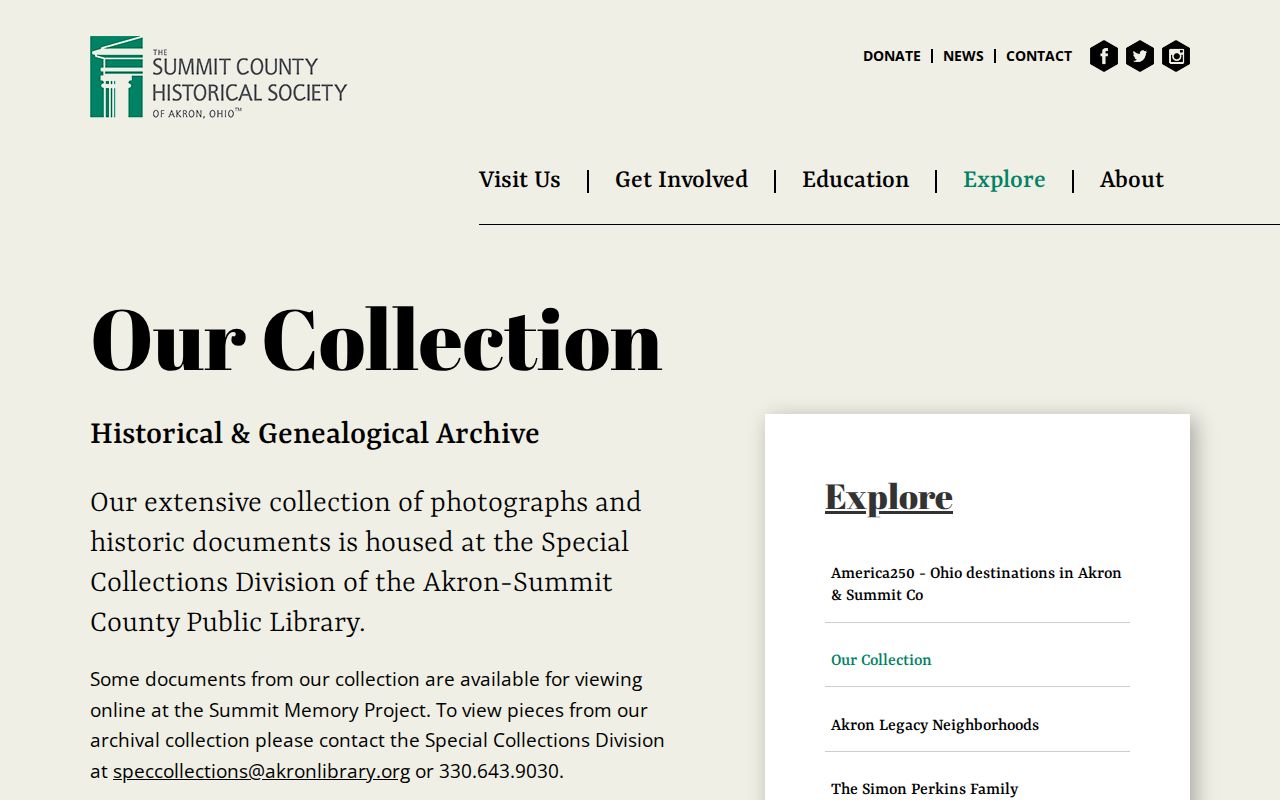
Historical objects, clippings, and maps should be cited to their item-level provenance and kept distinct from recorded land evidence.
Stow Previous Residents Household Clues
To learn who lived at an address during a particular period, pair the closest dated directory or local publication with the appropriate released federal census schedule. The National Archives census research route explains federal schedule access and release context. A census is a snapshot on its census date. Compare age, birthplace, relatives, and enumeration district before treating a same-name entry as the same household.
A simple chronology keeps the evidence separate: address wording in a directory or newspaper, people named in the census, and property identity in the recorder’s legal description. Obituary research and probate records can supply later or family-context leads, but family relationship must be read from the actual document rather than presumed from a shared surname. Summit Probate’s genealogy-and-records route covers historic marriage, estate, guardianship, and selected vital-record research.
The Stow-Munroe Falls Public Library research capture shows the library’s route to genealogy and local-history tools.
Check whether a listed genealogy resource requires in-library access before planning a visit or relying on remote availability.
The Summit Probate genealogy-and-records capture is a separate official route when an estate or guardianship record is the next documented lead.
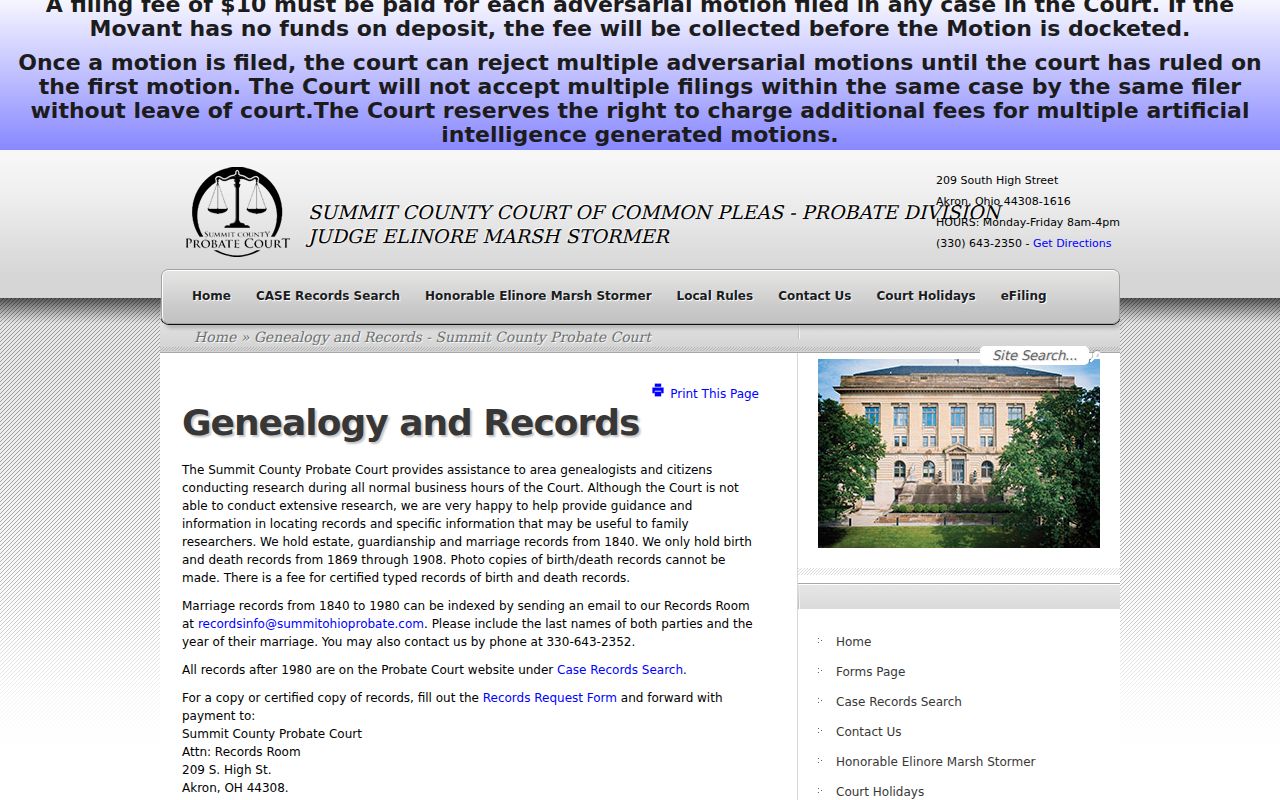
Probate material may identify heirs, executors, creditors, or property, but the document controls the relationship described.
Stow Previous Residents Research Limits
Previous residents research has clear limits. A parcel owner, tax mailing recipient, directory entry, voter record, and census household are not interchangeable facts. Court, voter, and other public records can contain redactions or confidentiality limits. Ohio Safe at Home provides address confidentiality for qualifying participants, and sealed court material remains unavailable even when a related index is public. A missing result may reflect source coverage, protected information, a spelling variant, or an access route that requires the custodian.
Use the City of Stow or county public-records process for a narrow request for an existing record and accept a lawful redaction. Do not request a generalized profile of a person or an address. Preserve the source date and stop at the point where a legal description, party role, or other core detail no longer fits the trail.
Lawful use. Use Stow address history for personal, family-history, property, civic, or archival research. Never use information from records to stalk, harass, intimidate, or harm anyone.