
Search a Stow Street Directory
For a current Stow address, begin with a stable property identifier rather than a broad name search. Summit Property Access separates the address number from the street field. A matching parcel supplies a bridge to tax documents, mapping context, and a recorded transfer. It can identify an owner or a tax-mailing field, but neither field alone proves who is presently at the physical address. Keep the initiating address exactly as written, then keep the portal's normalized number-and-street query as a separate note.
The trail should narrow with each record. Do not use a street name as a reason to combine several parcels, and do not turn an individual voter result into a list for a street. The state voter tool starts with a person’s first name, last name, and county; its later street refinement distinguishes an individual result. It is not a street-enumeration feature. For a historical address, move from the parcel or legal description to a dated directory, newspaper, or map only after recording the source date.
- Enter the address number and street in Summit Property Access, or use a known parcel number. Record the exact result count and the selected parcel ID.
- Read the parcel summary and save the displayed situs, access date, and any report name. A situs address is the property location shown by the county, not a statement about a current occupant.
- Use the parcel ID with the appropriate companion source: the tax-document lookup for tax material, the GIS viewer for place context, or the Recording Division for a filed instrument.
- Open the recorded transfer document and compare its legal description, lot or subdivision reference, recording date, and parties before connecting it to the parcel.
- For a dated household clue, consult the local library and historic directory sources. Use a person-centered voter lookup only when the official form and a defined individual record support that step.
Note: A complete address trail preserves dates and source types rather than treating current parcel data as proof of an earlier street relationship.
Stow Address Inputs for Property Access
Summit Property Access is the Stow street directory’s main county route for a parcel-oriented question. Its published standard controls are Parcel, Route, Owner, Address No., Street, Zip, Filter By, Sort by Parcel, ascending order, Results/Page 25, and Search. The county says the data updates daily at 10 p.m. and a standard search may return as many as 500 records. A precise address number plus street, or a parcel number, is safer than a broad surname when several results are possible.
| Property Access field | Best use in Stow | Important limit |
|---|---|---|
| Parcel | Use a known county parcel identifier to reopen one record. | It identifies property research, not a person’s present location. |
| Address No. and Street | Enter the street components separately for an address-led search. | Preserve the original address form outside the portal query. |
| Owner | Test the name as shown on a recorded instrument. | Punctuation and name variants can change results. |
| Zip | Narrow a property query where appropriate. | A postal code is not a city boundary or a street list. |
| Advanced criteria | Use district or sales-price controls for a defined property question. | Do not use it to assemble speculative personal lists. |
The official instructions describe a selected parcel’s Summary Page and report options including a tax bill, property record card, attribute report, and neighborhood sales. During the research review, the live system displayed a maintenance or disclaimer screen and no parcel card was opened. Treat report-field labels as something to recheck live, and use the Summit Fiscal Office rather than repeatedly retrying an unavailable portal.
The successful Summit Property Access capture shows the county route used for a Stow street directory search.
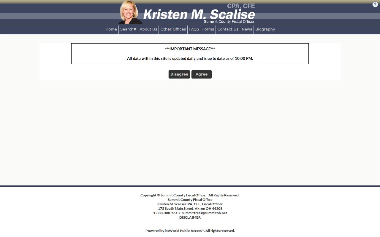
Use the empty interface to verify the current controls before entering a narrow property query.
Stow Street Directory Record Terms
Property and historical sources use terms that should not be blended. The county’s parcel record gives a research identifier and a displayed situs. A recorded instrument uses parties and a legal description. A directory can place an address clue in a publication year. Defining the record type before comparing it prevents a convenient street match from becoming an unsupported claim.
- Parcel
- A county property identifier used to connect a selected property record with related county systems.
- Situs address
- The physical property location displayed on a record. It can differ from a tax-mailing address.
- Plat
- A recorded map or plan that can identify a subdivision, lot, street layout, or other land reference at its recording date.
- Criss-cross directory
- A directory arranged by address rather than only by name, used as a dated historical clue when an actual volume includes the place.
For older records, preserve the source’s spelling, suffix, route label, and date. Normalize a query for the portal without silently rewriting the original source.
Stow Street Directory Map Context
After a parcel is identified, the Summit County GIS Viewer can add street, parcel, and jurisdiction context. County planning material describes layers such as parcel boundaries, aerial imagery, waterways, wetlands, flood-related areas, soils, and municipal context. Those layers are useful for asking the right office a focused question. They are not a survey, proof of an easement, or evidence that someone is at an address.
Check municipal context separately from a postal label. A place can use Stow in a mailing address while the parcel and city jurisdiction need independent confirmation. When a street-directory result is ambiguous, compare the parcel ID, address number, legal description, municipality, and source date. A map marker cannot resolve a numbering dispute. For that issue, the documented City of Stow route is Engineering.
Note: The county has referenced a newer parcel-viewer route, so live layers and controls should be checked before relying on a captured map screen.
Stow Street Records Compared
Address-keyed records do not all show the same fact. The street directory approach is to use the source that matches the question and label its limits. Summit County property records organize a parcel trail. The Recording Division organizes instruments. City offices hold their own existing municipal records. The Ohio voter lookup is individual-only, and its result should not be used to establish a household or present presence. Older address clues belong to their dated library source.
| Address record | Custodian or source | What it can support | Access route |
|---|---|---|---|
| Parcel and property reports | Summit Property Access | Parcel context, county property data, and report links. | Online; use the Fiscal Office if the portal is unavailable. |
| Tax documents | Summit County tax-document search | Specified valuations and notices described as 2022-present. | Online by parcel, account, owner, or house-number input. |
| Recorded instruments | Summit Fiscal Office, Recording Division | Deeds, mortgages, releases, plats, and named parties. | Online records from 1988 forward; counter and archive routes for earlier work. |
| Parcel and place layers | Summit County GIS | Spatial and jurisdiction context after identifying a parcel. | Online viewer; informational only, not a survey. |
| Dated local publications | Stow-Munroe Falls Library and Special Collections | Historical street, community, or address-period clues. | Library collection, research tools, and item-level sources. |
A parcel number is the strongest connector across the first four rows. A street string is less durable because a document may use a route label, a directory abbreviation, a subdivision reference, or a legal description. Use the record itself to make the connection. The City of Stow public-records policy is the route for a narrow request for an existing city record when city records, rather than county property records, are involved.
Follow Stow Recorded Street Documents
The Summit County Fiscal Office Recording Division keeps deeds, mortgages, releases, plats, and related instruments. Its search information says online browsing and viewing begin in 1988. The live system uses an acceptance gate and CAPTCHA, and the research review did not expose a public list of search fields or result columns after that gate. That is a reason to avoid a made-up form walkthrough, not a reason to skip the recorder route.
Use an index entry as a lead. The recorder describes the index as comparable to a card catalog, and document images can contain redactions. Check spelling variants, document number, book and page where relevant, party roles, and the legal description. The current buyer typically appears as grantee on a transfer and the seller as grantor. Compare the lot, subdivision, parcel reference, and recording details before treating a prior deed as part of the same chain.
The Recording Division page provides the official route for a Stow street directory document search.
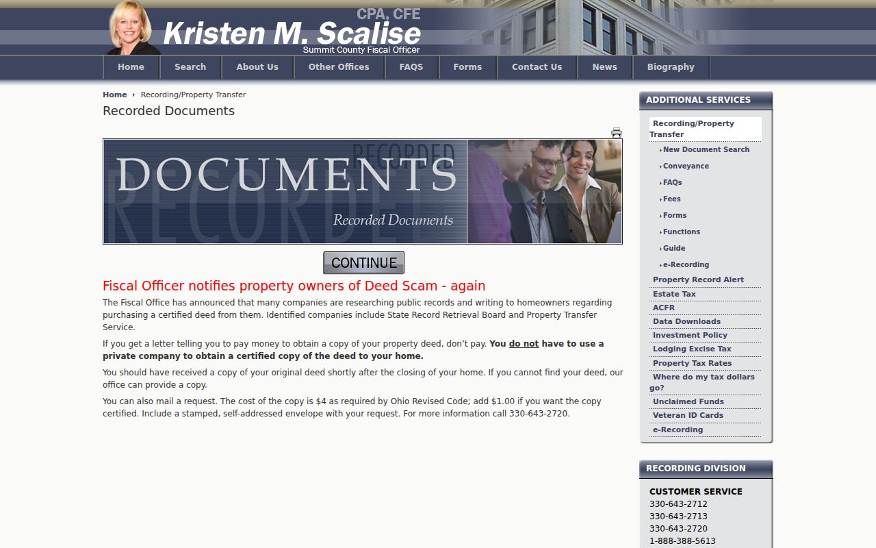
Its source page is a better starting point than an unofficial copy source because it leads back to the county custodian.
The Recording Division search landing page is a separate capture of the county’s recorded-document route.
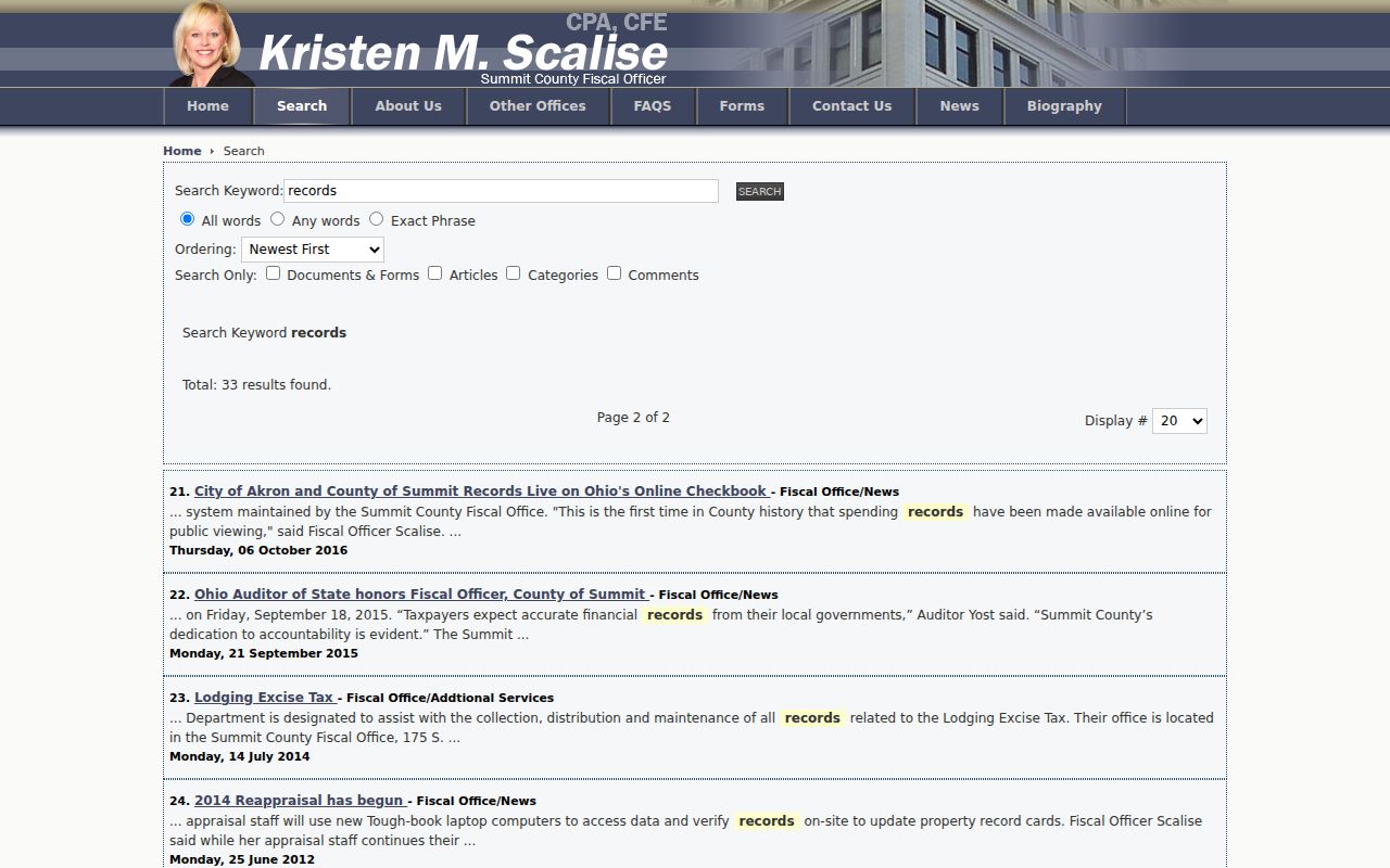
When an online hit is not enough, inspect the linked image or ask the Recording Division for the appropriate copy.
Copies are listed at $2 per page and certification at $1 per document. For an ordinary research question, ask whether an official image or plain copy is available; request a certified copy when a receiving office or formal matter actually requires it. The Recording Division counter is at 175 S. Main Street, fourth floor, Akron, and its listed telephone numbers are 330-643-2712, 330-643-2713, and 330-643-2720.
Stow Address Numbering Routes
Some street-directory questions are really numbering or city-record questions. The City of Stow public-use contact guide assigns address-numbering questions to Engineering at 330-689-2726. Provide the parcel ID, both address forms, the document date, and a short question about the discrepancy. GIS can show contextual layers, but it cannot replace the municipal custodian’s answer about a number assignment or change.
For a city-held record, identify the record class and date range. Stow’s Building Department and Planning contacts handle their documented subject areas, while Engineering is the stated address-numbering route.
Stow Tax-Document Street Search
The county tax-document lookup uses different input rules from Property Access. Its Property Address route accepts a house number only, not a full street phrase. It also accepts a parcel ID with dashes, a seven-digit account number with leading zeroes, or an owner name as it appears on the deed. The research describes its valuation and tax-notice material as 2022-present, and it is not a substitute for the fuller parcel card.
The county tax-document lookup capture illustrates the separate input route.
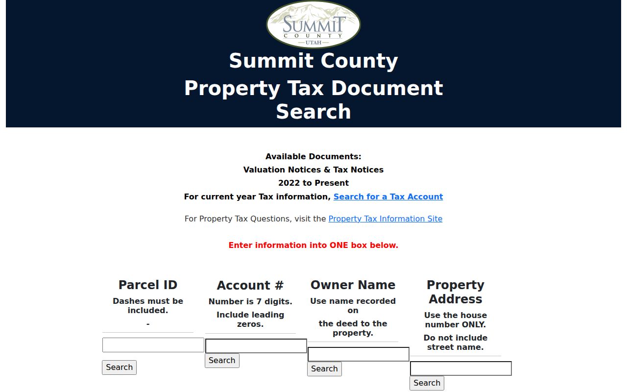
Using the portal’s house-number-only rule prevents a common failed search and keeps the query aligned with its documented field.
City building guides direct permit-status questions to city contacts by phone. No independently usable city public permit-history search and field list was confirmed during research, so a street directory should request a specific existing permit, plan-review, inspection, or certificate record rather than claim an online history exists.
Stow Street History Needs Dates
Stow Corners provides a useful local orientation for street research. The Stow-Munroe Falls Public Library history places the historic core at Darrow Road, also State Route 91, and Kent Road, also State Route 59. The walking-tour material identifies early landmarks around that crossroads. It does not convert an old landmark into a present parcel ID, and it does not prove that related road names are interchangeable on every document.
For a past address, search the relevant publication year first. The local library lists the Stow Press for 1959–1960, Community Church of Stow News for 1934–1948, and digitized Stoanno yearbooks for 1916 and 1951 to present. Akron-Summit County Public Library Special Collections also describes a historic Akron and surrounding-area directory collection from 1859 through 1969, with gaps and combined editions. A volume may not include a Stow entry, so read the actual issue and retain its date.
When history becomes the main question, the Stow Directory Book follows the library collections in more detail. For this street directory, use a dated publication as one part of an address source stack, then reconcile it with the parcel and recorded legal description.
Stow Street Directory Limits
A Stow street directory can describe official routes, but it cannot establish a current household roster. Property ownership, tax mailing, physical situs, voter registration, and current presence are different facts. Mailing and situs addresses can differ. A voter result is designed for an individual lookup, and protected fields may be redacted. Court files can include sealed or confidential entries. Ohio Safe at Home protections and other statutory limits can also restrict address disclosure.
The right response to a conflict is to preserve the competing records, their dates, and the exact custodian. Contact the applicable office for a defined existing record, and accept a lawful redaction or denial. Do not try to fill a gap with a map marker, an old directory, or an assumption about a person connected to the parcel.
Lawful use. Use Stow street and address records for personal, civic, family-history, property, or archive research. Never use a result to stalk, harass, intimidate, or harm anyone.