
Stow ZIP Directory Coverage
The research supports one principal official-address ZIP for Stow: 44224. City Hall uses that ZIP, and the USPS FAST label material links the Stow postal facility with it. The same facility list also associates 44262 and 44306 with Stow in a postal-processing context. It does not draw delivery boundaries or show that those other ZIPs lie within the city. No current, authoritative street-by-street delivery map or complete additional Stow ZIP list was verified, so a cautious ZIP code directory must state the limit rather than invent neighborhood coverage.
| ZIP | Areas covered | Post office context | Research note |
|---|---|---|---|
| 44224 | Principal postal ZIP used on City of Stow official addresses | Stow postal facility association in the USPS FAST label material | Confirm the full address with USPS; it is not a city-boundary substitute. |
| 44262 | Facility association only | Paired with the Stow facility in the USPS FAST label material | No Stow municipal coverage is established by that association. |
| 44306 | Facility association only | Paired with the Stow facility in the USPS FAST label material | No Stow municipal coverage is established by that association. |
Postal labels and incorporated-city limits are separate systems. The safe question is not “which ZIP contains Stow?” but “which delivery ZIP does USPS assign to this complete address today?” Keep a historic document’s printed ZIP with its date if it differs from a present result. Formatting and delivery arrangements can change, and the difference is a question to check rather than proof of an error.
Verify a Stow ZIP by Address
USPS ZIP Code Lookup is the final check for a particular mailing address. Begin with the full address, retain the standardized result, and do not edit it to match an older directory or a preferred city label. The city-and-state option can supply postal context, but address lookup is the better test for a delivery point. USPS cautions that its result does not verify that any person or organization receives mail at that address.
A historic directory, recorded document, or map can preserve an earlier address form that the current postal result does not repeat. Keep the older wording with its publication or recording date, then use the present USPS result only for current mail formatting. A mismatch calls for comparison, not a silent rewrite of the historical source.
The USPS address lookup is shown below as the source for address-level postal verification.
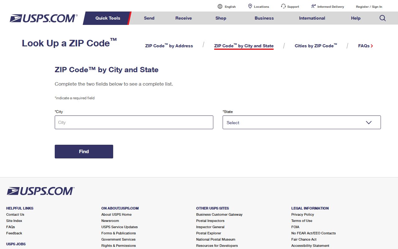
Use the postal result for mail delivery only. A separate county parcel or municipal record may be needed to answer a jurisdiction or record-custody question.
Stow Postal Facility ZIP Context
The USPS FAST label document connects the Stow facility with 44224, 44262, and 44306. That is a facility and routing fact. It is not a map of every postal route, a list of ZIPs inside Stow, or a statement that an address with one of those codes lies in the city. A postal city name can overlap a different government boundary, school district, court venue, or parcel jurisdiction.
For a record request, select the custodian from the record type and actual jurisdiction. City departments maintain city records, Summit County offices maintain county records, and courts are chosen by their legal jurisdiction and case type. A ZIP is useful for mail and limited filtering, but it does not decide which office owns a record.
Stow ZIP Filter in Property Access
Summit Property Access lists Zip among its standard search fields. That allows a user to narrow a real-property question within a ZIP field, but it is not a legal municipal boundary and not a way to build a list of people. An address number and street, or preferably a parcel number, are more precise. A parcel result must still be checked against its municipality, legal description, and the specific record being studied.
| Parcel | The most precise starting field when a parcel identifier is known. |
|---|---|
| Owner | A standard field, but broad name searches can be affected by spelling, punctuation, suffixes, and entity wording. |
| Address No. and Street | Use the documented parts of an address rather than assuming a ZIP identifies one property. |
| Zip | An available filter for property research, not proof of city jurisdiction or occupancy. |
| Results controls | The standard instructions list Filter By, Sort by Parcel, ascending order, 25 results per page, and Search. |
If the portal is unavailable, use the Fiscal Office instead of repeatedly trying to force a live system. The research found the Property Access system in maintenance and did not inspect a live parcel card, so volatile detail fields should be checked directly before relying on them.
The Summit County GIS Day information illustrates the county’s active parcel-viewer transition.
GIS context is most useful after a parcel is identified. A map marker or parcel boundary alone does not establish a mailing ZIP or a person’s present connection to an address.
Limits of a Stow ZIP Search
Ohio Voter Lookup begins with first name, last name, and county. For a Stow question, the county selection is Summit County, and a street refinement comes after a person-centered search. There is no opening ZIP field. The tool cannot be turned into a ZIP-wide directory, household list, or address-confirmation method. For an official election-record question, use the Summit Board of Elections and request a legally releasable existing record with a clear description.
Ohio’s DRC tool has a ZIP field only for narrow APA supervision or violators-at-large conditions. It is not a general postal or population tool. Court records likewise follow jurisdiction and case type, not a ZIP filter. Note: A ZIP result does not confirm identity, residence, or a right to receive mail, even when the address formatting is exact.
Using a Stow ZIP as a Filter
A ZIP can help narrow a records question that already has a lawful, specific purpose. Start with an address or parcel, not a broad request for names. The ZIP filter in Property Access can support parcel research, while USPS confirms delivery formatting. After that, county GIS helps supply parcel and jurisdiction context, and the relevant city or county office can be asked for an existing, defined record.
- Enter the complete street address in the USPS address lookup and save the standardized mailing result.
- Use the confirmed ZIP in Summit Property Access only to narrow a property query, then select the correct parcel by address or parcel number.
- Check the parcel’s municipality, legal description, and county GIS context before treating it as a Stow record.
- Route a city record to the appropriate Stow department or a county record to the proper Summit custodian, based on record type.
- Use Ohio Voter Lookup only for its individual first-name, last-name, and county workflow, never as a ZIP browse tool.
Once the task becomes an address-by-address record question, the Stow street directory supplies the separate street-level workflow. It is more precise than treating a postal code as a neighborhood or residency list.
Stow Delivery Lines and City Limits
Census ZCTA guidance explains that ZCTAs are statistical areas built from Census blocks. They are not USPS delivery boundaries. A census map can be useful for tabulation context, while a USPS response is the proper source for a mailing code. Neither source substitutes for a county parcel jurisdiction or a city department’s record route.
- ZIP and ZIP+4
- The five-digit ZIP identifies a postal delivery area; ZIP+4 adds a more specific delivery segment. USPS supplies the standardized form for an address.
- ZCTA
- A Census statistical area designed for tabulation. It is not a postal delivery map.
- PO Box ZIP
- A code used for post-office-box service. No Stow-specific PO Box ZIP was verified in the research.
- Unique ZIP
- A code assigned for a single organization or recipient. No Stow-specific unique ZIP was verified in the research.
- Carrier route
- A postal delivery grouping. It should not be treated as a municipal boundary or a list of residents.
The Census ZCTA guidance is shown below to distinguish statistical tabulation from postal delivery geography.
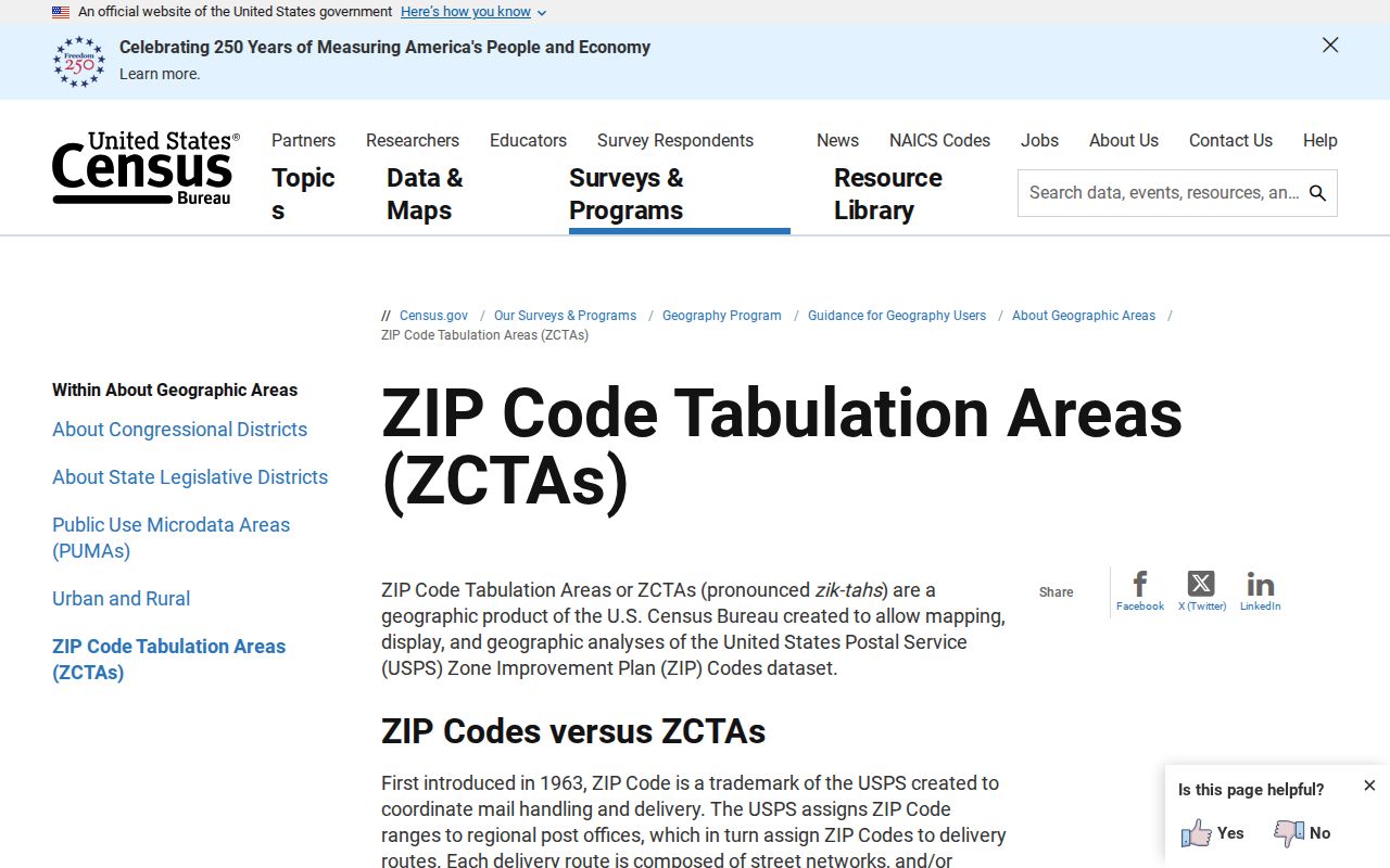
When a census shape and USPS result differ, keep them labeled by source class rather than trying to reconcile them into one boundary.
Three Checks for a Stow Address
A defensible address note keeps three separate results: the USPS mailing ZIP, the county parcel or GIS jurisdiction context, and the city department or county custodian that holds the needed record. This prevents a postal label from carrying more meaning than it has. It also makes a disagreement visible: an older document can retain its original address form while a current postal result uses a newer standard.
National Archives census research guidance is shown below because census schedules are another time-bound geography source, not a continuous address or delivery record.
Compare a census date, an archived directory edition, a postal result, and a parcel record as separate evidence. Do not silently carry a location label from one date or source class into another.
Stow Postal Records by Custodian
Use USPS for delivery codes, Summit Property Access and GIS for parcel context, and the responsible city, county, court, or public-health office for the record itself. For example, a ZIP in a vital-record application is a purchaser contact field, not an event-location search field. Courts choose venue by jurisdiction and case type. City requests should name an existing category, date range, address or record number, and preferred inspection or copy method.
Stow’s public-records policy directs requests to the department that maintains the record. The city’s Law Department is at 3760 Darrow Rd., Stow, OH 44224, telephone 330-689-2869. The city policy allows a requester to identify the record and preferred delivery method without using special wording. It does not turn a postal code into a general purpose records index.